
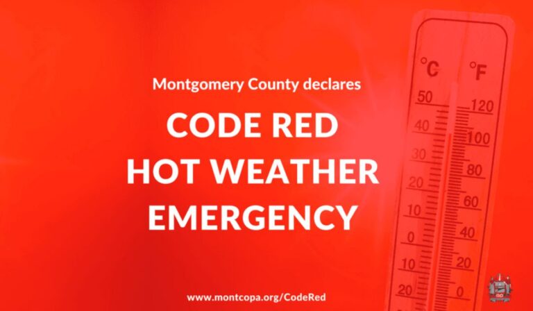
The Montgomery County Commissioners have declared a “Code Red” Hot Weather Emergency for Thursday, June 11 and Friday, June 12, from 12:00pm through 6:00pm.
“A Code Red Hot Weather Emergency is declared when the temperature or heat index is expected to be at or above 100°F for two hours or more,” the announcement says. “Extreme heat can cause illnesses including rash, cramps, exhaustion, and heat stroke. It can even cause death.”
For housing resources and access to the Your Way Home crisis response system, call 610-278-3522. For a list of public facilities in greater Glenside that are air conditioned and can be used as cooling centers, you can click here.
The National Weather Service issued a Heat Advisory for Montgomery and surrounding counties from 11:00am on Thursday to 8:00pm on Friday.
Heat index values up to 103 degrees expected. Their seven-day forecast for our area is below:
This Afternoon
A chance of showers and thunderstorms, then showers likely and possibly a thunderstorm after 5pm. Mostly cloudy, with a high near 85. Southwest wind around 10 mph. Chance of precipitation is 60%. New rainfall amounts of less than a tenth of an inch, except higher amounts possible in thunderstorms.
Tonight
A chance of showers and thunderstorms, mainly before 10pm. Mostly cloudy, then gradually becoming mostly clear, with a low around 69. Southwest wind 5 to 10 mph. Chance of precipitation is 40%. New precipitation amounts of less than a tenth of an inch, except higher amounts possible in thunderstorms.
Thursday
A chance of showers and thunderstorms after 3pm. Sunny through mid morning, then becoming mostly cloudy, with a high near 94. Heat index values as high as 100. West wind 5 to 10 mph. Chance of precipitation is 30%. New rainfall amounts of less than a tenth of an inch, except higher amounts possible in thunderstorms.
Thursday Night
A chance of showers and thunderstorms before 1am, then a slight chance of showers between 1am and 2am. Cloudy, then gradually becoming partly cloudy, with a low around 72. West wind 5 to 10 mph. Chance of precipitation is 50%. New precipitation amounts between a tenth and quarter of an inch, except higher amounts possible in thunderstorms.
Friday
A chance of showers between 2pm and 5pm, then a chance of showers and thunderstorms after 5pm. Mostly sunny, with a high near 95. West wind 5 to 10 mph. Chance of precipitation is 50%. New rainfall amounts of less than a tenth of an inch, except higher amounts possible in thunderstorms.
Friday Night
A chance of showers and thunderstorms before 11pm, then a chance of showers between 11pm and 2am. Mostly cloudy, with a low around 69. Chance of precipitation is 50%. New precipitation amounts between a tenth and quarter of an inch, except higher amounts possible in thunderstorms.
Saturday
Sunny, with a high near 89.
Saturday Night
Mostly clear, with a low around 66.
Sunday
Sunny, with a high near 92.
Sunday Night
A chance of showers. Mostly cloudy, with a low around 66. Chance of precipitation is 40%.
Monday
A chance of showers. Partly sunny, with a high near 84. Chance of precipitation is 40%.
Monday Night
A chance of showers. Mostly cloudy, with a low around 62. Chance of precipitation is 40%.
Tuesday
A chance of showers. Partly sunny, with a high near 82. Chance of precipitation is 40%.
For all the latest news, follow us on Facebook or sign up for Glenside Local’s “Daily Buzz” newsletter here.