
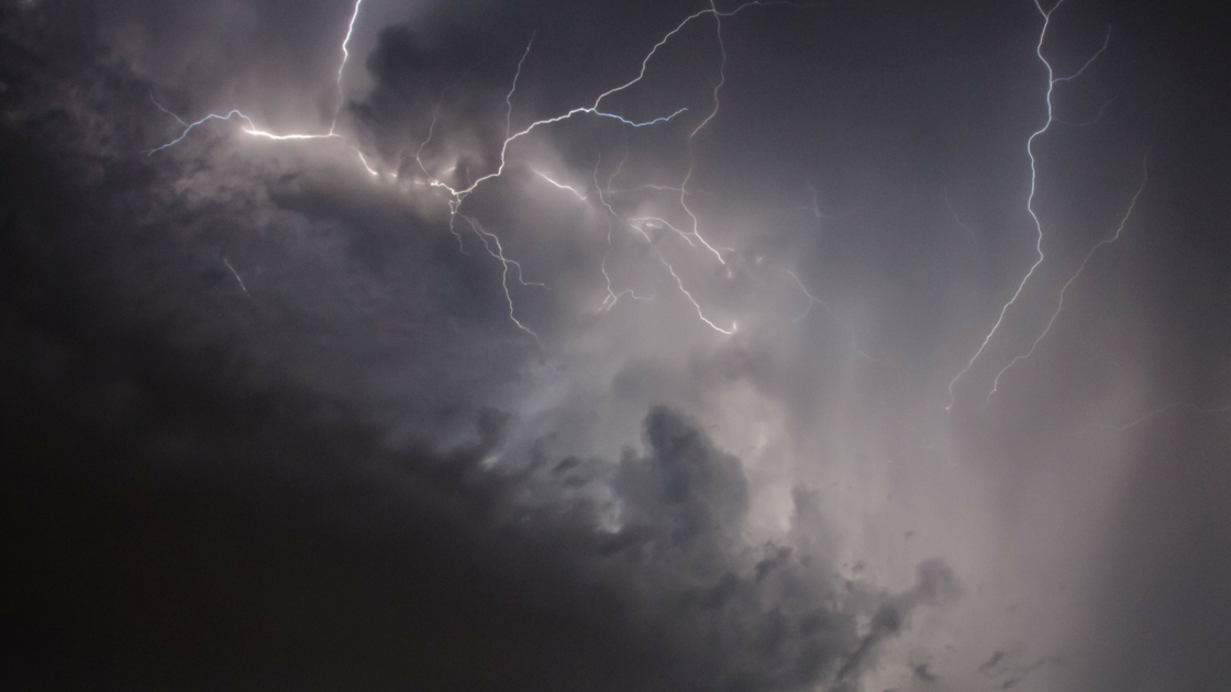
The seven day heat wave comes to an end with thunderstorms and rain. The National Weather Service issued a Hazardous Outlook of isolated thunderstorms, heavy rainfall with isolated instances of flash flooding, as well as urban and poor-drainage flooding.
The Hazardous Weather Outlook was issued for two days of days of storms, expected to begin later in the day and extend through Friday evening.
FRIDAY: Expect strong, gusty thunderstorms. Drenching downpours are also possible with any storm that forms, which may produce flash floods in isolated areas.. The high settles to 84. Humidity should begin dropping in the evening.
SATURDAY: It’s a temperature change, just in time for the weekend. With sunny skies and low humidity. The high is 80.
SUNDAY: Look for a mostly sunny, pleasant afternoon with low humidity and another high around 83.
Source: National Weather Service & 6ABC WPVI