
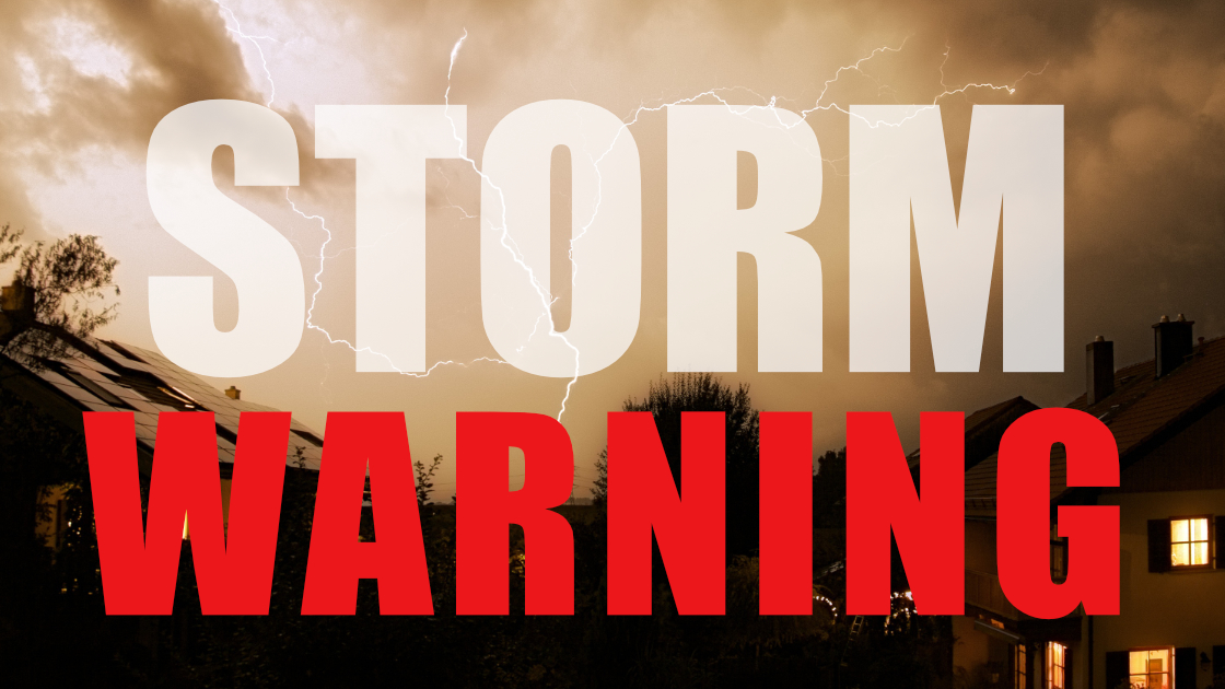
The National Weather Service has issued a Severe Thunderstorm Warning for our area and beyond. This is accompanied by a Flash Flood Warning as well.
This warning is in effect until 3:30 PM today.
Statement from the National Weather Service:
At 225 PM EDT, radar indicated strong thunderstorms were located
along a line extending from near Zionsville to Marshallton to near
Newtown. Movement was east at 25 mph.
Wind gusts up to 50 mph and half inch hail are possible with these
storms.
Locations impacted include…
Philadelphia, Allentown, Trenton, Camden, Wilmington, Newark,
Bridgeton, Middletown, West Chester, Elkton, Somerville, Gloucester
City, Calvert, Bethlehem, Bensalem, Bridgewater, Mount Laurel, Ewing,
Norristown and Chester.
Torrential rainfall is also occurring with these storms, and may
cause localized flooding. These storms are headed into areas that
have ongoing flooding from heavy rains overnight. Do not drive your
vehicle through flooded roadways.
Frequent cloud to ground lightning is occurring with this storm.
Lightning can strike 10 miles away from a thunderstorm. Seek a safe
shelter inside a building or vehicle.