
In the Philadelphia area, expect a chance of scattered thunderstorms in the late afternoon. Around 8 p.m. tonight a stronger system could move in according to The Weather Channel’s forecast.
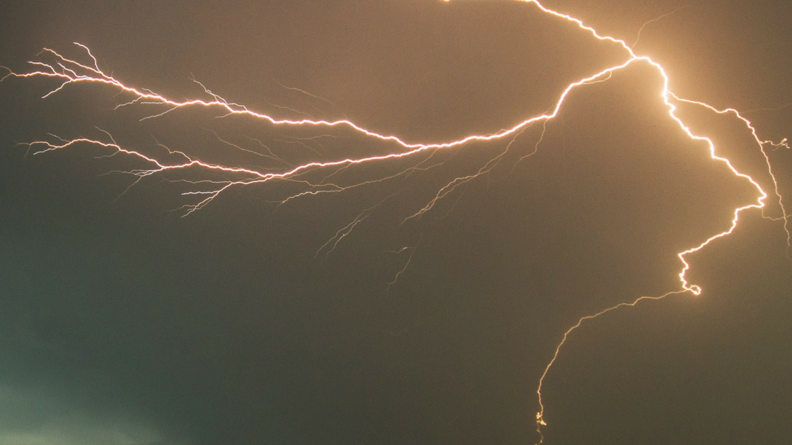
A severe thunderstorm watch has been issued across the Philadelphia region, including in the following counties: Montgomery, Bucks, Chester, Delaware and Philadelphia.
This means strong storms with heavy winds are possible this evening into tonight. The National Weather Service says the storms are expected to result in heavy rain that could produce poor drainage flooding and localized flash flooding. The Severe Thunderstorm Watch is in place through 10 p.m. tonight.
The storms could produce potentially damaging winds and even hail, forecasters say. The rest of the weekend is looking better. See the weekend forecast from Philly6ABC (WPVI)
WEEKEND OUTLOOK
TONIGHT: Evening thunderstorms could still be strong. Overnight, the storms fall apart. It’s still somewhat humid with a low of 72.
SATURDAY: Clouds and a couple of early showers east of Philadelphia quickly give way to partly sunny skies. It’s warm and breezy. Humidity drops off a bit as we move through the afternoon. The high dips to 87.
SUNDAY: This is a partly sunny, less humid day with no chance of rain. Look for a seasonable high of 86.